I lecture in Graphic Design, which is one of the pathways on the BA (Hons) Visual Communication course at the
University of Derby.
The third year students were given a brief based around the concept of ‘mapping’. This also formed the creative theme for the degree show and its promotion. This semester, I was asked to design the template for the degree show banners and also a promotional ‘mailer’ for the students and the show.
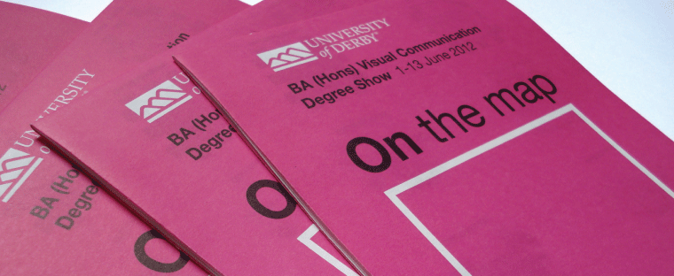
The design was based on the format of a map and as you can see, the cover design also followed the classic Ordnance Survey approach with its striking use of magenta.
Solving problems
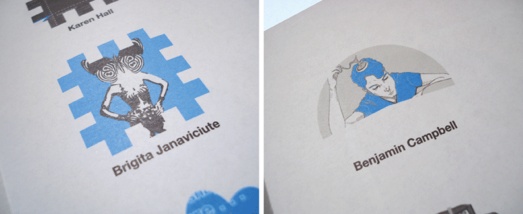
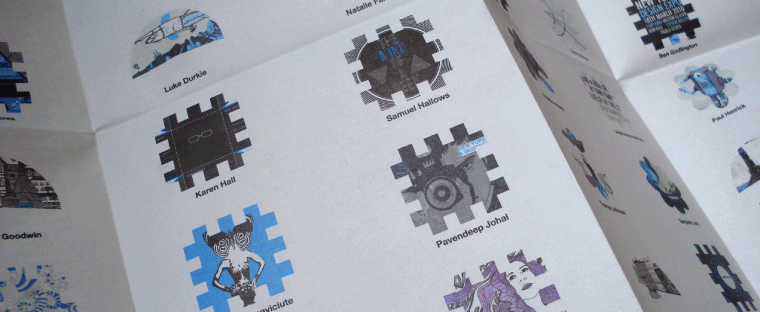
As with all design briefs, there are always issues that need resolving – and this project was no exception. The first was to create new symbols for the three pathways. Abstract shapes for Graphic Design, Animation and Illustration were created, the design of which was (very) loosely based on map symbols. The shape of these symbols had to be bold enough so that they could contain a snapshot of the students’ work.
The second problem was figuring out the grid to apply these across the ‘map’. It was only right to show the students names in alphabetical order, and to have these equally spaced across the pages, and avoiding the folds of the map. In theory an easy enough problem to solve, but right up until the last minute we were not sure exactly how many students would be submitting work for this mailer. (Yes, students and deadlines, eh?)
The final (and biggest) problem was our workload. The deadline for the submission of artwork for this project also coincided with some other big projects:
- Report about homelessness for the University of Salford (a 48 page document). See our blog about this here.
- A0 wallcharts (x4 different versions) for Capita.
I felt like a student again, with the number of hours and late nights I was putting in this week!
The document format was a convenient size – folding down to a5 and included contact details for all students. Ideal for potential employers and also for the students to keep in touch. It was printed by specialist map printers Butler, Tanner and Dennis.


